Karakalpakstan · Sights
The Ustyurt Plateau
The Ustyurt Plateau in western Karakalpakstan, a vast stony desert ending in white cliffs above the Aral Sea, its landscapes and wildlife, the 4x4 route to the sea and yurt camps, and how to plan a trip safely.
The Ustyurt Plateau is a huge, flat stony desert between the Caspian and the Aral Sea, shared by Uzbekistan, Kazakhstan and Turkmenistan. In Uzbekistan it ends in dramatic cliffs, called chinks, above the Aral’s remaining shore. It is reached only by 4x4 from Nukus or Muynak, usually with a night in a yurt camp.
A table of stone
West of the Amu Darya delta, the land rises suddenly into a vast plateau. The Ustyurt (in Turkic languages, roughly "high plain") covers some 200,000 square kilometres between the Caspian Sea and the Aral Sea. Its western part lies in Kazakhstan, its south in Turkmenistan, and its eastern part in the west of Karakalpakstan.
The surface is a flat, almost empty desert of stones, clay and sparse shrubs, at an altitude of roughly 150–300 metres. It has no towns, almost no roads, and very few people: a few gas installations, scattered herders and a railway crossing to Kazakhstan. Its edges, however, are spectacular.
The chinks
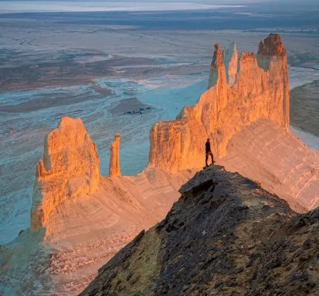
The plateau ends in steep escarpments, known locally as chinks. On the eastern edge, the cliffs drop towards the former bed and the remaining waters of the Aral Sea. Layered in white, cream and pink limestone and chalk, they rise in places more than 100 metres above the shore. In the evening light they glow, and the view over the shrunken sea and the white salt flats is one of the most extraordinary landscapes in Central Asia.
The cliffs also show the scale of the Aral disaster: from above you see how far the shoreline has moved, and the salt and sand where water used to be.
Wildlife and nature
Despite its harshness, the Ustyurt supports wildlife adapted to the desert: the endangered saiga antelope, which migrates across the plateau; the goitered gazelle; foxes, wolves and many reptiles; and birds of prey such as eagles and vultures. In spring, after rain, the desert briefly turns green and flowers appear. Part of the plateau in Uzbekistan is protected for the saiga. Sightings of large animals are not guaranteed; they are shy and the area is huge.
History
The Ustyurt was crossed by caravan routes linking Khorezm with the lower Volga and the Caspian, and the remains of caravanserais, wells and burial grounds survive across the plateau, especially on the Kazakh side. Nomads used it for winter grazing. Ancient stone hunting structures known as "arrows", long walls used to drive animals into traps, have been found on the plateau. All this is remote and hard to reach, but adds to the feeling of a place with a long, mostly unwritten history.
The route to the Aral Sea
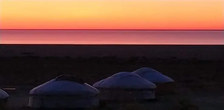
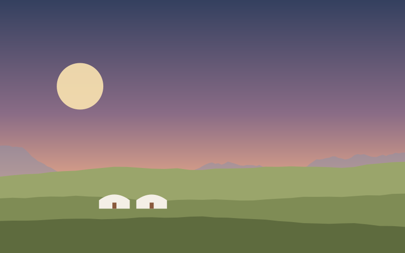
The usual trip starts in Nukus or Muynak. From Muynak and its ship cemetery, the route goes west across the dry seabed and the delta, often past Sudochie Lake, then climbs onto the plateau and follows tracks along its edge. The final descent leads to the shore of the Aral, where a yurt camp offers dinner and a night under a very dark sky.
The trip requires a 4x4 with an experienced driver who knows the tracks; there are no signs and no mobile signal for long stretches. The round trip from Nukus usually takes two or three days. Our Aral Sea and Karakalpakstan tour follows this route.
Planning and safety
Season: the best months are late April to early June and September to mid-October. Summer is very hot; winter is freezing and windy, and tracks can be impassable after rain or snow.
What to bring: warm layers (nights are cold even in summer), a windproof jacket, sun protection, sturdy shoes, a torch and personal medicines. Camps provide meals, bedding and simple toilets.
Safety: never attempt the plateau alone or in an ordinary car. Travel with a reliable operator, a spare vehicle if possible, and plenty of water. Drones and photography near gas installations or border areas may be restricted; ask your guide.
Frequently asked questions
Where is the Ustyurt Plateau?
Between the Caspian and Aral seas; its eastern part lies in western Karakalpakstan, Uzbekistan.
How do you get to the Ustyurt Plateau?
By 4x4 from Nukus or Muynak, with an experienced driver; most trips take two or three days with a night in a yurt camp.
What are the chinks of Ustyurt?
The steep cliffs at the plateau’s edge, which rise above the remaining waters of the Aral Sea.
Rules, timetables and prices change. We check this page regularly, but always confirm entry requirements with official sources before you travel.